When a Pet Goes Missing

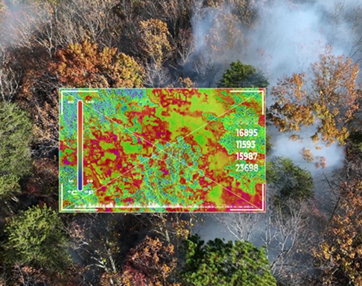
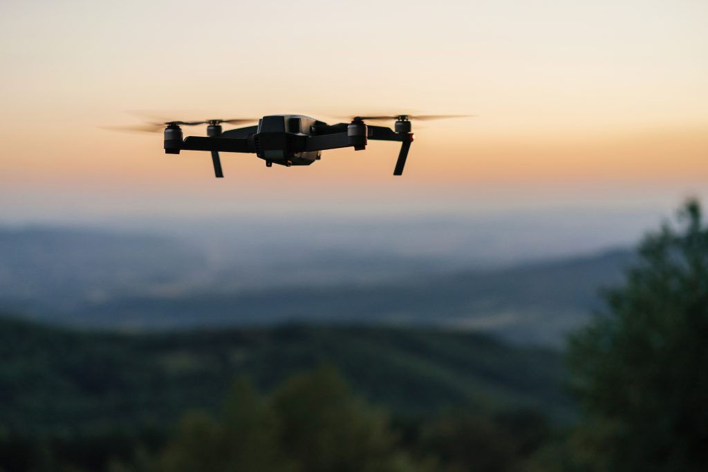
When a pet goes missing, time matters. TREC uses aerial cameras, thermal imaging, zoom, and low-light technology to help search fields, rural properties, neighborhoods, river corridors, and other difficult-to-access areas. Our DJI Matrice 4T gives owners another perspective and can help focus ground-search efforts by covering areas that are difficult to see or walk. Search results depend on terrain, vegetation, weather, temperature, airspace, access, how quickly the search begins, and whether the animal is visible from the air. Detection cannot be guaranteed.

Livestock, Ranch & Pack-Animal Searches

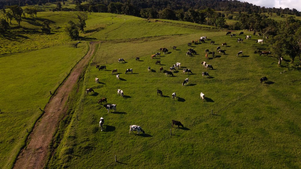
Large pastures, rough terrain, brush, timber edges, and mountain country can make it difficult to account for every animal. TREC can assist ranchers when cattle or other livestock are missing during a roundup, help search for animals separated from a herd, and support searches for horses or pack animals that become lost during hunting, camping, or backcountry packing trips. Aerial thermal, zoom, and visual scanning can cover broad areas and help direct riders or ground crews toward possible locations. Detection and recovery cannot be guaranteed, especially in heavy tree cover, dense vegetation, extreme temperatures, poor weather, or restricted airspace.

How TREC Can Help

TREC is designed to supplement—not replace—the search conducted by the owner, rancher, outfitter, riders, or other ground crews. Before a flight, we review the type and number of animals missing, last known location and time seen, identifying marks, likely travel direction, terrain, nearby hazards, and areas already searched. When conditions allow, the aircraft can scan open ground, field and pasture edges, shelter belts, draws, drainage areas, and other locations from above. Any possible sighting or heat signature must be confirmed from the ground.

Search Services

Lost Dog and Cat Searches

Missing Cattle and Livestock Searches

Roundup Support for Unaccounted-For Animals

Lost Horses and Pack Animals

Thermal and Low-Light Aerial Search

Fields, Pastures, Rural Properties and Difficult Terrain

Aerial Search-Area Documentation

Ground-Team, Rider and Ranch-Crew Support

Ready to get started?

Provide the animal type and number missing; the pet’s name or the livestock, horse, or pack animal’s identification when applicable; breed, color, size, brand, ear tag, collar, or other identifying marks; a recent photo if available; last known location and time seen; owner or ranch contact information; and areas already searched. For roundup or backcountry searches, include pasture or route boundaries, likely travel areas, terrain, water sources, property-access concerns, and nearby hazards. Flight availability depends on current conditions, airspace, visibility, site access, and operational safety.


"*" indicates required fields