ag Spots are filling up fast. Reserve your time today.
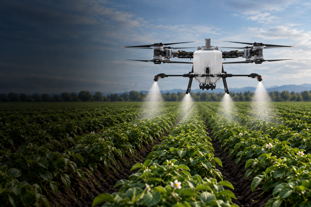
Troika AgTech provides precision drone application for growers across Southeast Idaho. The DJI Agras T100 is designed for low-altitude, targeted application in fields where timing, access, crop conditions, or field shape can make conventional equipment less practical. Drone application can be especially useful for smaller fields, irregular areas, wet ground, difficult access, and locations where reducing crop contact matters. Each job is planned around acreage, application rate, product requirements, weather, obstacles, refill logistics, regulatory requirements, and the product label. Flights are conducted by FAA Part 107-certificated Remote Pilots. Agricultural application operations are performed by Idaho-licensed applicators under applicable FAA Part 137 authority.

Under ideal, high-efficiency conditions, each TAG spray drone can apply approximately 50 acres per hour. Actual production depends on the required application rate, field size and shape, refill distance, product and label requirements, weather, obstacles, and site logistics. With rotating pilots, TAG is equipped to operate continuously during the day and night when the field location, airspace, product label, visibility, weather, and safety conditions allow.
Troika AgTech uses the DJI Mavic 3 Multispectral to map fields and highlight variability that may not be obvious from the ground. Multispectral imagery can help identify areas showing different plant vigor, emergence, drainage, irrigation, or crop-stress patterns. Reports direct the farmer or agronomist to areas that deserve ground inspection and can support better scouting and treatment decisions. When field conditions support it, mapping may help determine whether a targeted application is more practical than treating an entire field. Troika does not diagnose crop problems or prescribe chemical treatment. The grower and agronomist remain responsible for determining the cause of an issue and selecting the appropriate response.
Tell us the crop, field location, approximate acreage, requested timing, and whether you are interested in application, mapping, or both. For application inquiries, include the planned product and rate if known. We will review field access, water and refill logistics, obstacles, weather requirements, and scheduling before confirming availability.
"*" indicates required fields